There is nothing original in this post. Links to Hungarian maps of Transcarpathia/Zakarpattya/Zakarpatska oblast are published on every genealogy board. As usually if someone makes inquiry about surname and village, he/she gets these links from local online gurus.
So I guess it is must-have for every genealogy board related to former Austro-Hungary and we in Transcarpathia are not exclusion. Here they are, maps of Department of Cartography and Geoinformatics, Eötvös University.
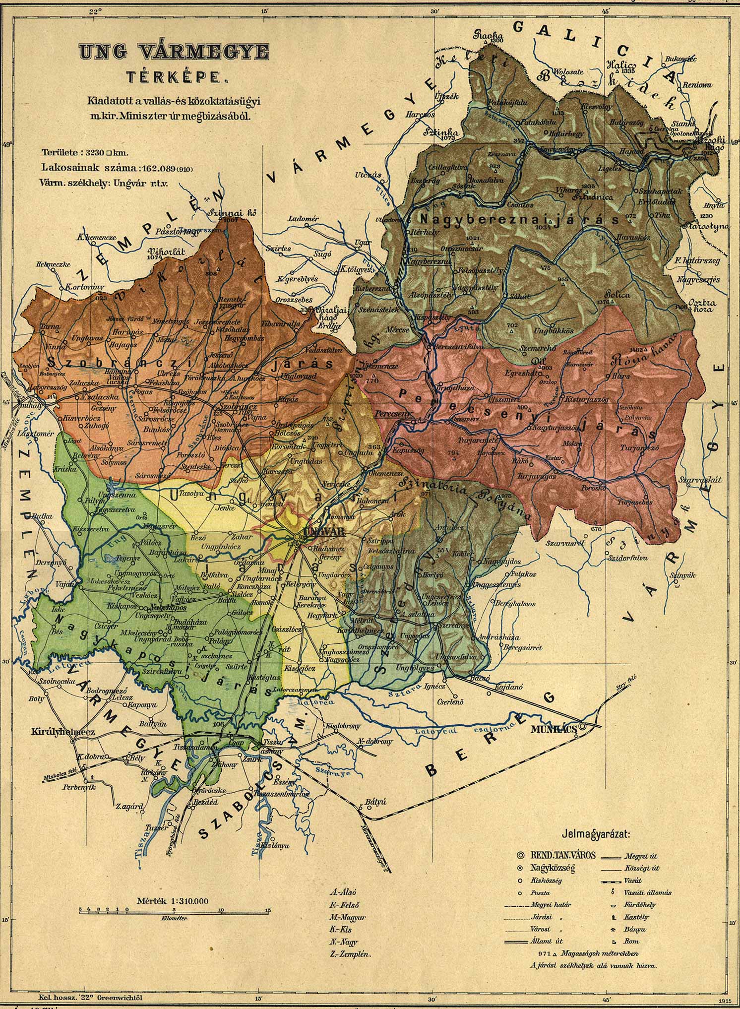
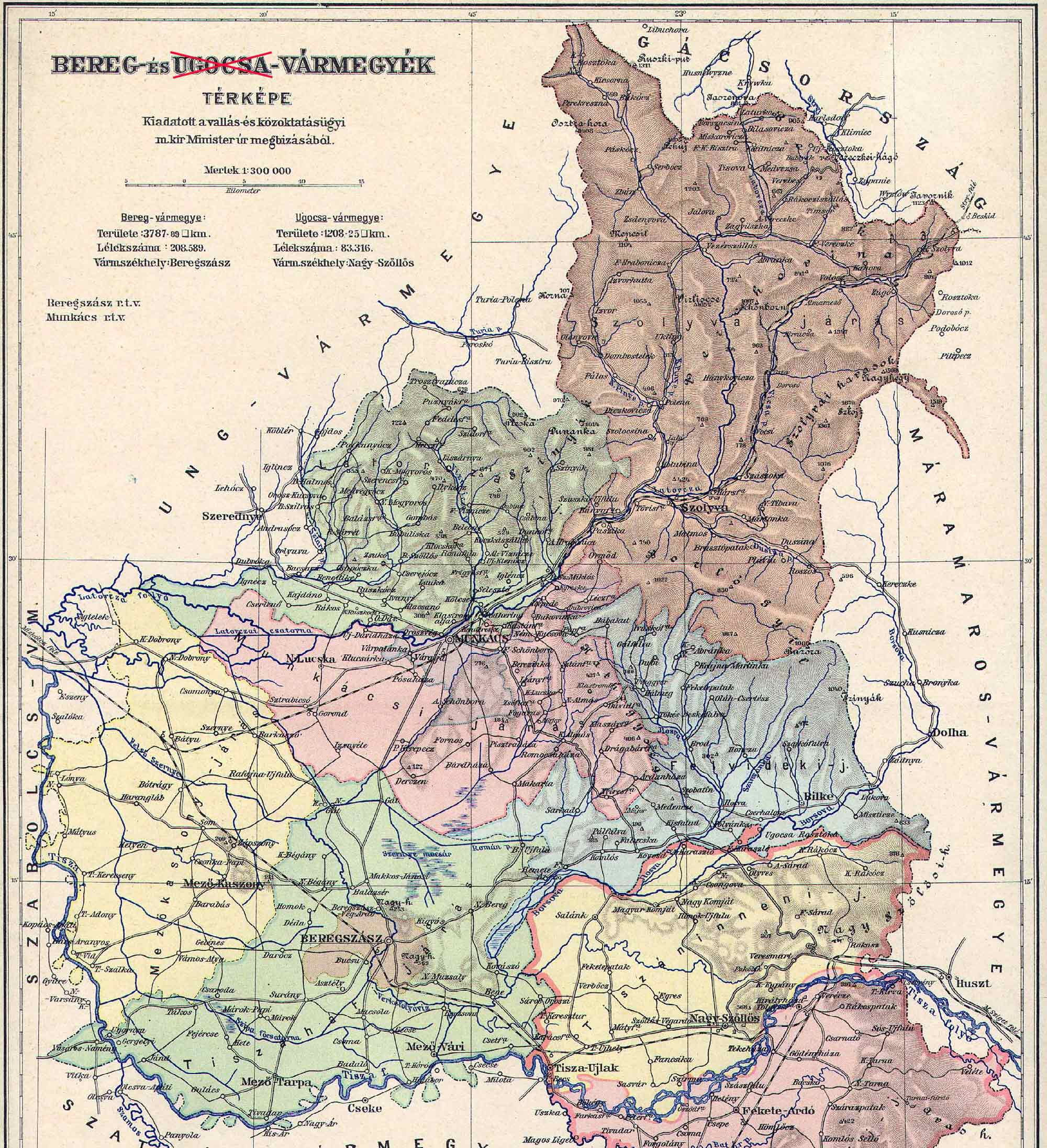
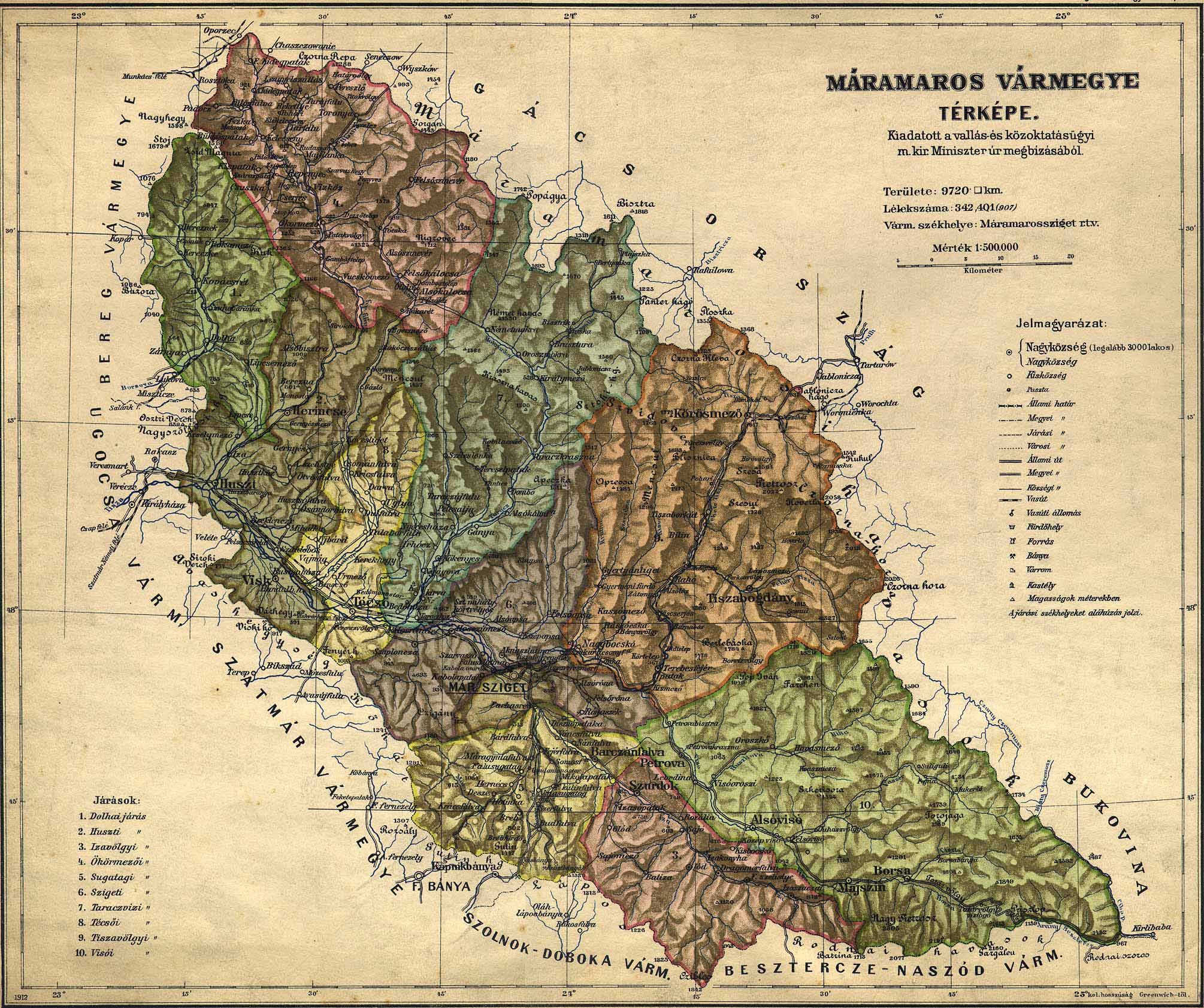
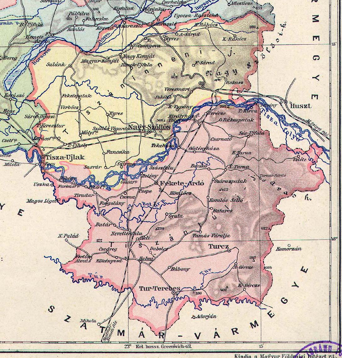
Territory of modern Transcarpathia/Zakarpattya in 1910 consisted of four counties or comitatuses, Ung megye, Ugocsa megye, Bereg megye and Maramaros megye:
http://lazarus.elte.hu/hun/maps/1910/vmlista.htm
A much detailed maps, it seems they are military:
http://lazarus.elte.hu/hun/digkonyv/topo/3felmeres.htm
For your convenience I’ve downloaded, adjusted and published maps of our four counties right here: